The trusted voice that guides you on your journey.

Before you set out
We recommend beginning your visit at the Burren National Park Information Point in Corofin. Our guides can help you choose the most suitable trail for your interests, explain current walking conditions, provide maps and answer any questions about the Burren’s remarkable wildlife and geology.
During the visitor season (1 May–20 September), a free shuttle bus operates regularly between Corofin and the National Park trailhead, making it the easiest and most sustainable way to reach the walking trails.
Walking and Hiking
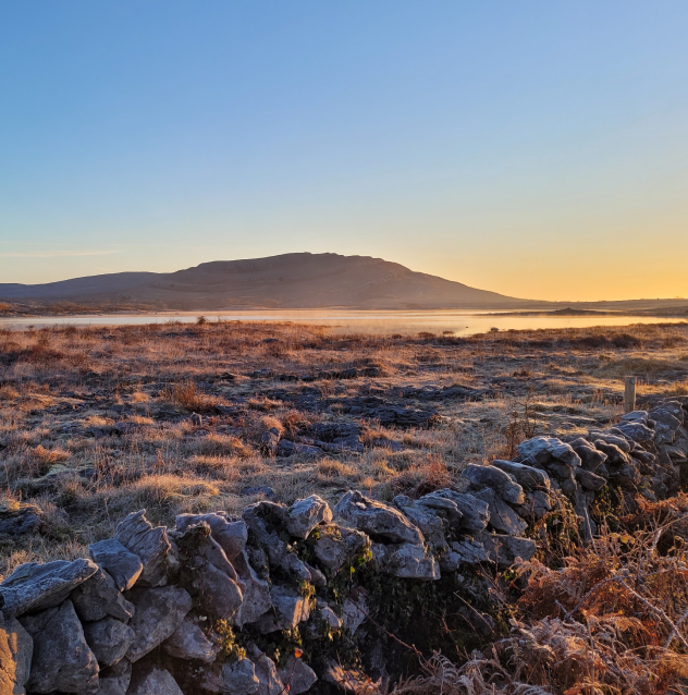
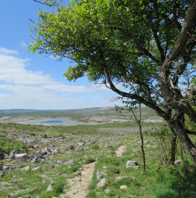
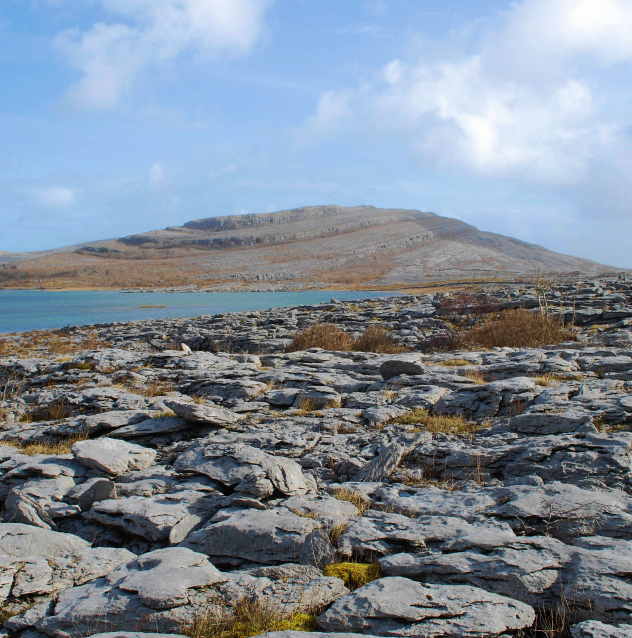
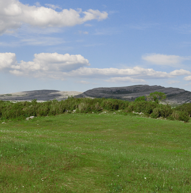
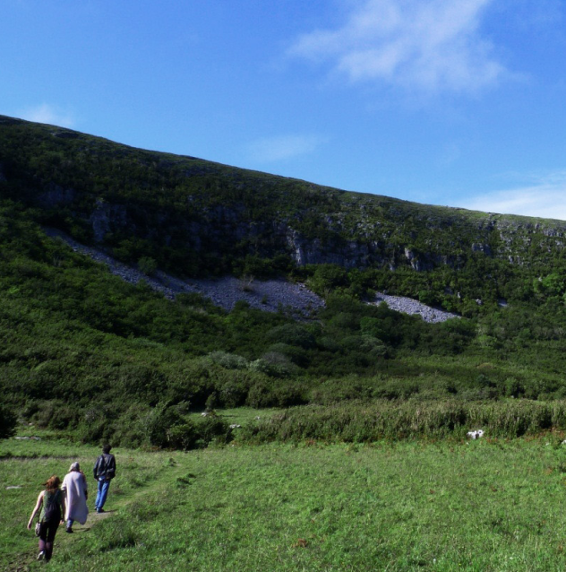
You are free to hike and walk in the park. We recommend you wear strong shoes or boots. There are seven way-marked walking trails in the Burren National Park and Slieve Carran Nature Reserve, in addition to a Green Road. The walks vary from a short 30-minute loop walk to a three-hour walk over limestone hills. Details of each of the walks are outlined below and a ‘Walking Trails Map’ is available for download.
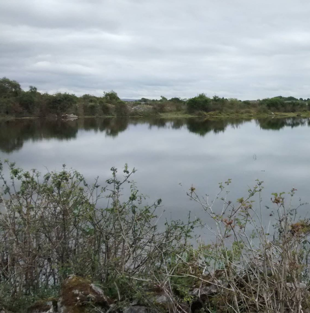
Knockaunroe Turlough
Mullaghmore Loop
Nature Trail
Slieve Carran

Trail Categories
- moderate
- very difficult

The going is rough underfoot with some obstacles such as protruding roots, rocks, etc. The routes are appropriate for people with a moderate level of fitness and some walking experience. Specific outdoor walking footwear and clothing is recommended.

These routes are predominantly in remote upland areas. They will typically include steep slopes which can be very variable and rough underfoot. The routes are suitable for competent mountain walkers with a good level of fitness. Specific outdoor walking footwear and clothing are required.
Advice for Hikers & Walkers
Each trail is signposted with colour-coded markers. The trails traverse a limestone landscape which can be rugged, uneven and steep in places, so be sure to take care. For trail advice, you can contact us at the Burren National Park Information Point from April to September or anytime by email.

01/
Consult maps of the area beforehand and plan in advance.

02/
Hiking is only recommended to those with suitable outdoor clothing and equipment.
03/
Do not venture into the hills alone.

04/
Know your limits and those of friends walking with you.

05/
Inform a competent person of your walking trip and estimated time of return.
06/
Take waste away with you. This is essential.

07/
Leave wild flowers for everyone to enjoy. Photograph or sketch them instead of picking them.
08/
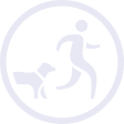
Dogs are welcome but must be kept on a lead at all times.
09/
Respect the National Park.

10/
Camping is not permitted in the Park.

11/
Be aware of ticks and their potential transmission of Lyme disease. Always check for ticks at the end of a day’s hiking.
Directions to Burren Trailhead
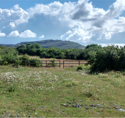
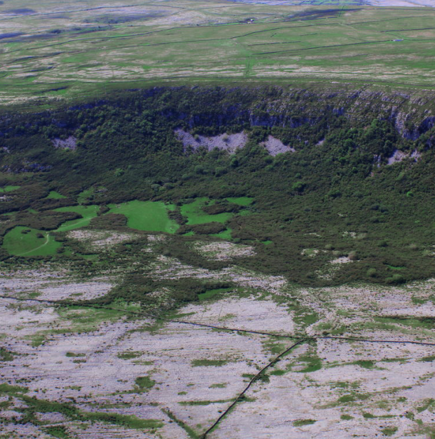
The Burren National Park is situated on the southeastern side of the Burren, in north Co. Clare.
To access the park, from Corofin, take the R476 to Kilnaboy. In Kilnaboy, take the right turn (L1112) before the ruined church. Approximately 5 kilometres along this road you will reach a crossroads. While there is a small lay-by just before this crossroads on the right that can accommodate some cars, we advise visitors to avail of the free Park and Ride service from Corofin during the summer months. Then on foot, turn right, along Crag Road, and Burren National Park lands are on your left. This is a public road so be careful of traffic.
Directions to Slieve Carran Trails
To get to Eagle’s Rock/Slievecarran/Keelhilla Nature Reserve from Corofin, take the R476 towards Kilinaboy. Drive through Kilinaboy as far as Leamaneh Castle then turn right onto the R480. Take another right onto L1014 (signposted Carran). Drive 5.3km to Carran and turn right when you see the church on the left. Slieve Carran is 8.7km from here. Take the first left and keep driving until you see a parking area on the left. This is Slieve Carran. You can park here for the Brown and Yellow Trails.
Alternatively you can take the R460 outside the Information Point. After 1.3km, turn left to stay on R460, signed Gort. Drive for 12.1km. After passing Lough Bunny on the left, turn left at crossroads onto L1010, signed Ballyvaughan. From the crossroads, drive straight for 9.7km. Turn left at a crossroads signed Tea Rooms and Burren Perfumery. Drive for 2.5km. When the road forks turn right and drive 600m down this road. You will see a parking area on the right. This is Slieve Carran. You can park here for the Brown and Yellow Trails.
Guided Walks
During the season, we offer free guided walks along the trails in the National Park covering topics such as Burren flora, fauna and geology. Guided walks can also be arranged for interested groups (for four people and more). All of our walks are free but booking is required as places are limited. Please contact us for more information.
All non-National Parks and Wildlife Service staff wishing to provide a guided walk in the Burren National Park must apply for a permit from the Park Ranger.
")
")
")
")
Ticks & Biting Insects
Ireland is generally a very safe place as regards wildlife. There are no longer any large predators like bears, wolves, or large cats, but Ireland is home to smaller creatures that may prove troublesome. In Burren National Park visitors may encounter swarms of midges (small biting flies) on warm and humid days, and walkers venturing off tracks may be bitten by ticks. All walkers should be aware that ticks can, in rare cases, carry Lyme disease. Learn more about ticks and biting insects in our guide below.

01 /
Walk in the middle of paths/trails, avoid overgrown vegetation.

02 /
Wear shoes, not sandals or bare feet.
03 /
Wear long trousers tucked into socks or boots.

")
")
")
")
04 /
Consider using an insect repellent containing DEET. Follow the manufacturers’ application guidelines.

05 /
Wear white or light coloured clothing to make ticks more visible and inspect clothes every 3-4 hours.
06 /
At the end of your day out, check yourself for ticks. Check both skin and hair, particularly warm moist areas such as the groin, backs of knees, armpits and neck.

07 /
Check your pets for ticks after outdoor activities.
Drone Permits
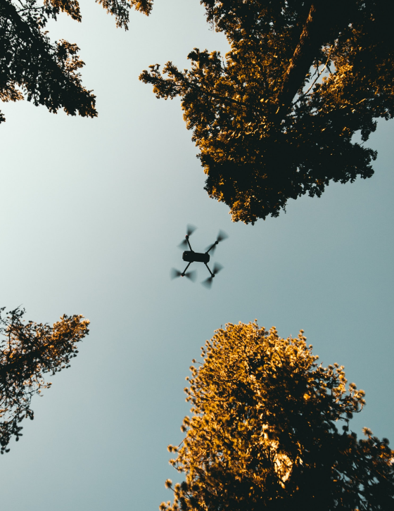
To reduce any negative impact on wildlife and visitor experience, National Parks do not allow the use of drones on their properties unless specific permission has been granted to do so. For further information on the national regulations and guidance pertaining to the operation of drones (Small Unmanned Aircraft), please refer to the following online resources:
The European Union Aviation Safety Agency has published FAQs relating to these regulations, focusing on the Open and Specific category of operations. These FAQs are designed to support the drone community in flying and operating drones safely across the EU. All drone owners should read the Irish Aviation Authority’s Drones Q & A.
Video recording equipment, can include CCTV, dash cams, action cams, camera-enabled drones, and other technologies. Where these types of equipment are used, users (as well as those recorded) should be aware of the potential application of the various rights and duties under data protection law to that recording. Guidance on the duties of data controllers can be found below.
Dogs
Dogs are permitted in the Burren National Park only if restrained on leads. However, dog owners must at all times be conscious of their responsibility to other visitors and wildlife. The following points will help dogs, their owners, other visitors and wildlife to have a safe and enjoyable visit.
Our Code of Conduct for Dog Owners is detailed below.
01/
We welcome responsible dog owners.
02/
You must keep your dog on a lead at all times.

03/
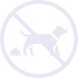
Be aware that the National Park is primarily for the conservation of nature. Wildlife must never be stressed by your dog.

04/
Be aware that some areas of the Burren National Park are grazed by livestock at certain times of the year.
05/
Be aware that other visitors may have a fear of dogs.
06/
Please carry waste bags to collect and clean up after your dog. Dog fouling is not pleasant for other visitors and may be harmful.
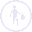
07/
Please note, there are no bins in the park. Dog waste, once bagged, must be carried home.